Use APKPure App
Get 防災地図 old version APK for Android
Displays disaster prevention maps and emergency evacuation sites, normal maps, and addresses for floods, landslides, storm surges, tsunamis, and road disaster prevention information at your current location. You can also email us your location and address.
現在地の洪水、土砂災害、高潮、津波、道路防災情報のハザードマップ(防災地図)と指定緊急避難場所、通常の地図、住所を表示します。
現在地に近い指定緊急避難場所がわかりますので、災害時の避難に役立ちます。
1.[洪水]は、洪水のハザードマップと指定緊急避難場所を表示します。
2.[土砂]は、土砂災害のハザードマップと指定緊急避難場所を表示します。
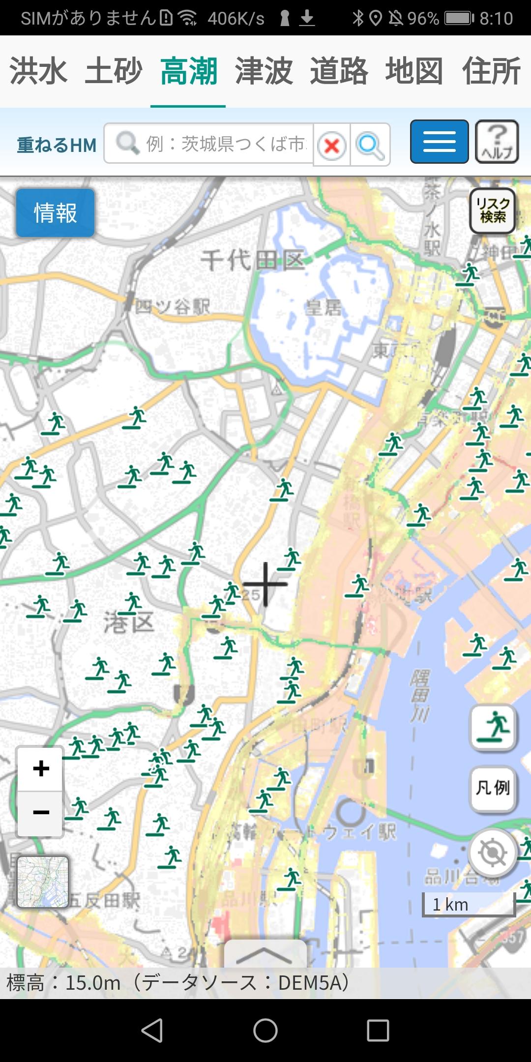
3.[高潮]は、高潮のハザードマップと指定緊急避難場所を表示します。
4.[津波]は、津波のハザードマップと指定緊急避難場所を表示します。
5.[道路]は、道路防災情報のハザードマップと指定緊急避難場所を表示します。
以上の出典 国土地理院 https://maps.gsi.go.jp/development/ichiran.html
6.[地図]は、通常の地図です。
7.[住所]は、現在地の緯度、経度、郵便番号、都道府県、市区町村、町、丁目、番地、号・建物、市区町村のヨミ、町のヨミを表示します。
共有ボタン(<)をタッチすると現在地の地図のURLと住所をメールで送れるので、どこにいるかを家族や友人に知らせることができます。災害時の緊急連絡用として、活用してください。
GPSスイッチをON(グリーン)にすると位置情報センサが動き、現在地の緯度、経度、住所が表示されます。
[初期化と現在地表示]をタッチすると洪水、土砂、高潮、津波、道路、地図の設定を初期化し、現在地を表示します。なお、タッチする前に、GPSスイッチをON(グリーン)にしてください。
Last updated on Apr 26, 2022
Minor bug fixes and improvements. Install or update to the newest version to check it out!
Latest Version
![]() 1.0.0
1.0.0
Requires Android
6.0 and up
Available on
![]()
Category
Report


Discover what you want easier, faster and safer.

防災地図
1.0.0 by FNDXtech
Apr 26, 2022